fema flood maps
April 25, 2016
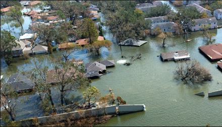
The FEMA Flood Map Service Center (MSC) is the official public source for flood hazard information produced in support of the National Flood Insurance Program (NFIP). As of April 5th, there are new flood maps for San Diego County, in particular Escondido, Imperial Beach and San Diego. These maps show properties that may be in a floodplain, where it may be required for the homeowner to have flood insurance. Click […]